Husain Trivedi· Sep 2026
#Google Earth Engine#Sentinel-2#NDVI#Remote Sensing#GIS#Ahmedabad#Satellite Imagery#Vegetation Analysis#Earth Observation#Geospatial Analysis
Interactive Media & Live Document Previews
Google Drive Preview
Inline Google Drive preview. Ensure file sharing is set to "Anyone with the link".Direct Link
Ahmedabad NDVI Analysis Using Sentinel-2 & Google Earth Engine
SECTION 01
1. Project Overview
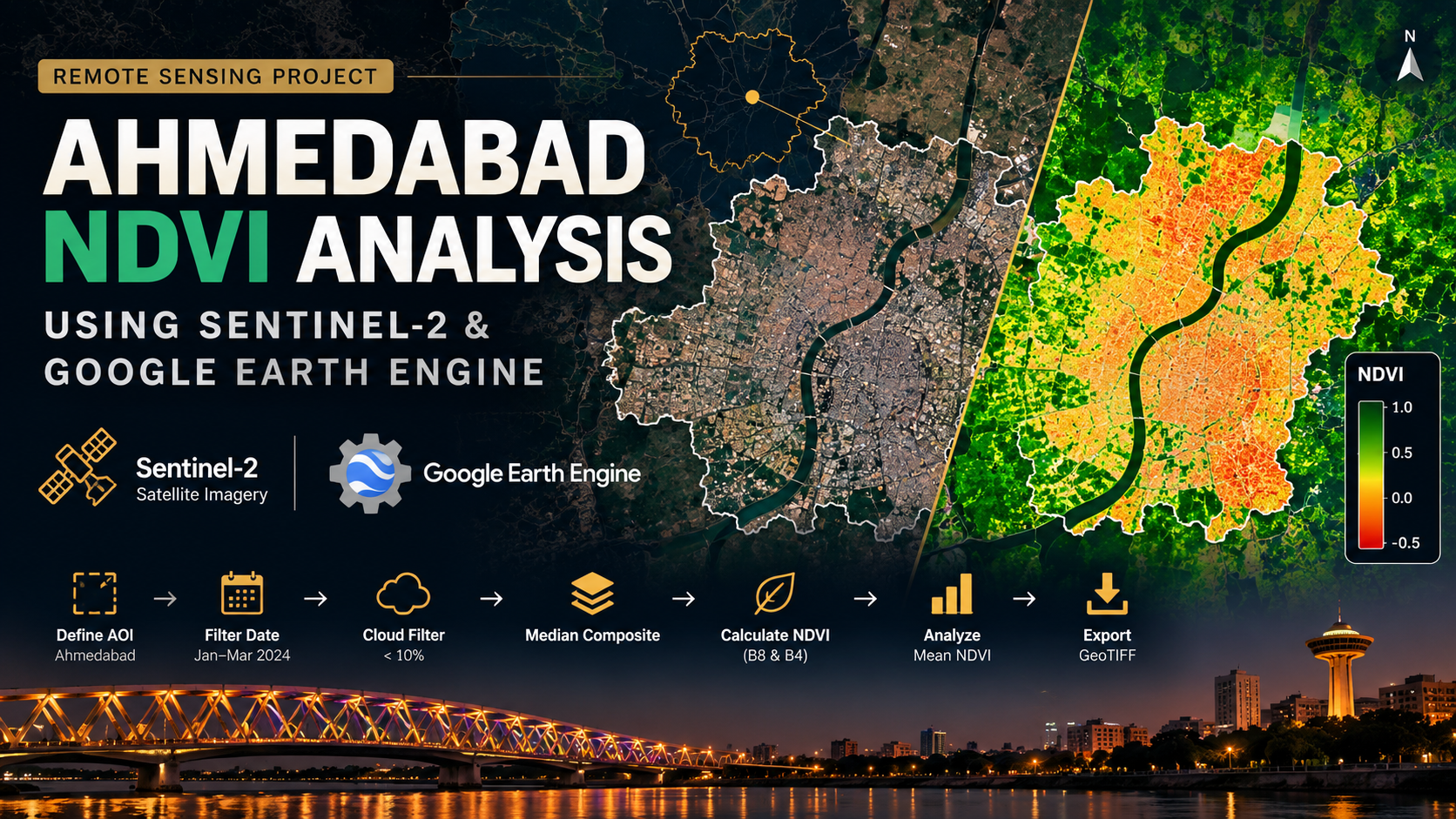
This project demonstrates a satellite-based vegetation analysis of Ahmedabad using Sentinel-2 Surface Reflectance imagery and Google Earth Engine (GEE).
The objective was to calculate and visualize the Normalized Difference Vegetation Index (NDVI) for an area around Ahmedabad and demonstrate a complete remote sensing workflow, from defining the study area and filtering satellite imagery to generating an NDVI map, calculating regional statistics, and exporting the final raster dataset.
HT
Husain Trivedi
GIS & Remote Sensing Fresher // Pune, India
GIS fresher specializing in spatial data science, QGIS, ArcGIS Pro, Google Earth Engine, and web application development. Explore additional case studies and technical hubs below: